 |
 |
 |
Home | Pacific
Coast | Great Lakes
| Atlantic Coast | Sunrise/Sunset
| Storms | Winter
| Birds | Lenses,
Stairs, Fences | Tallships
| Panoramics | Awards
| Bio | Order
| Webring
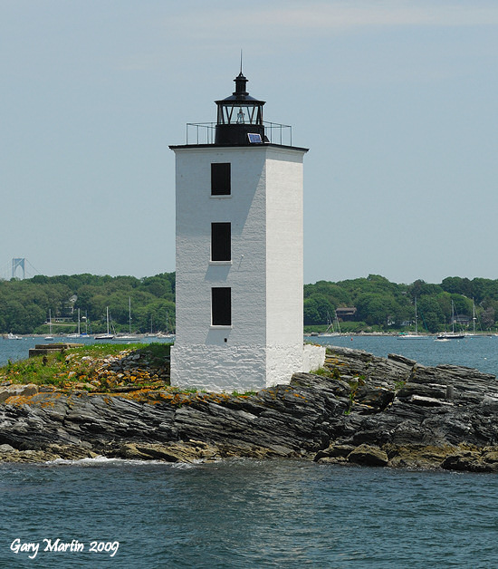
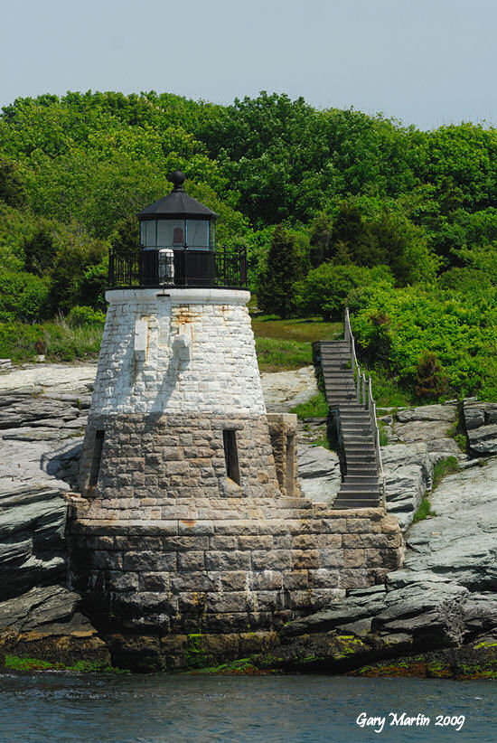
Rhode Island
was one of the first states in the Union... but the last of the
50 states that I ended up visiting in my travels. Nevertheless,
on my return home from a NELL (New England Lighthouse Lovers) spring
'09 trip on the waters off of Cape Ann, MA I drove to Providence
and spent a Saturday night there in preparation for some lighthouse
photography along the Providence River and on Narragansett Bay the
following afternoon. The annotated map below shows the location
of the lights that I managed to visit that Sunday. |
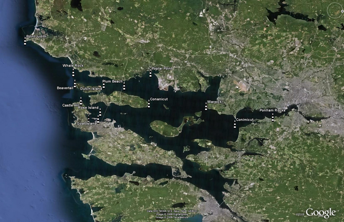
Map Copyright Google
2008 |
The map above
shows the Rhode Island lighthouses that I managed to visit and photograph
on a beautiful Sunday in June '09. Note that the map has been
rotated by approximately 90 degrees to more conveniently fit
on a computer monitor so that north is now to the right as noted
by the compass in the upper right corner of the map. |
|
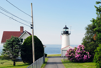
Block Island - North
|
Block Island - Southeast
|
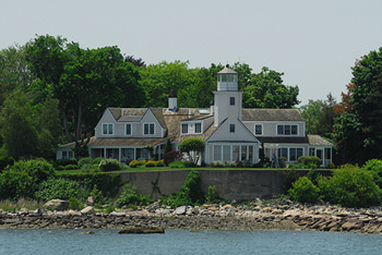
Bristol Ferry
|
|
|
|
|
|
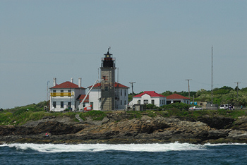
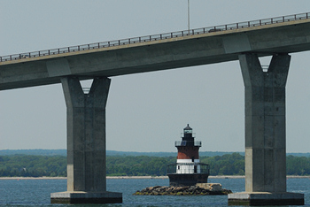
Hog Island Shoal |
|
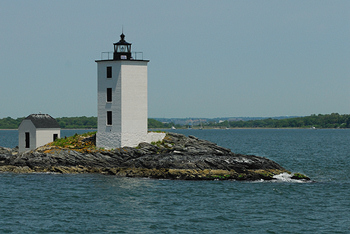
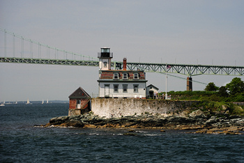
Nyatt Point |
|
|
|
|
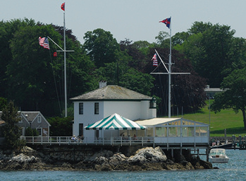
Prudence Island |
|
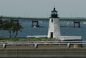
Sakonnet Point |
|
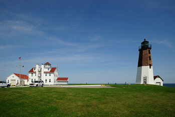
Watch Hill |
|
|


Buttons with photos above them correspond to galleries that are under construction.
Some are active... some will be active soon!